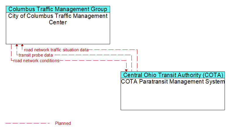
Interface: City of Columbus Traffic Management Center - COTA Paratransit Management System
Architecture Flow Definitions
road network conditions (Planned ) Applicable ITS Standards
Current and forecasted traffic information, road and weather conditions, and other road network status. Either raw data, processed data, or some combination of both may be provided by this flow. Information on diversions and alternate routes, closures, and special traffic restrictions (lane/shoulder use, weight restrictions, width restrictions, HOV requirements) in effect is included.
road network traffic situation data (Planned ) Applicable ITS Standards
Aggregated route usage, travel times, and other aggregated data collected from probe vehicles that can be used to estimate current traffic conditions.
transit probe data (Planned ) Applicable ITS Standards
Aggregate probe data derived from tracking transit vehicles. Data collected could include transit vehicle speeds and travel times for a given link or collection of links.