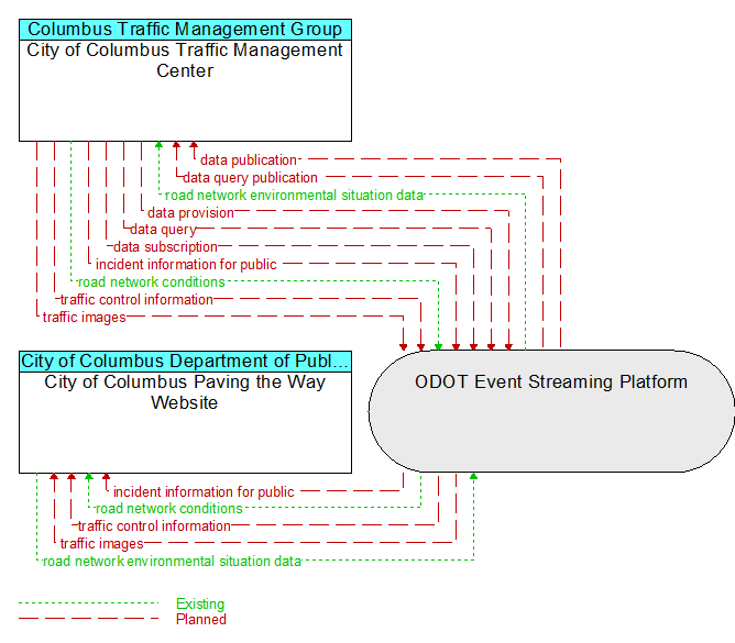
Interface: City of Columbus Traffic Management Center - City of Columbus Paving the Way Website
Architecture Flow Definitions
incident information for public (Planned ) Applicable ITS Standards
Report of current desensitized incident information prepared for public dissemination.
road network conditions (Existing) Applicable ITS Standards
Current and forecasted traffic information, road and weather conditions, and other road network status. Either raw data, processed data, or some combination of both may be provided by this flow. Information on diversions and alternate routes, closures, and special traffic restrictions (lane/shoulder use, weight restrictions, width restrictions, HOV requirements) in effect is included.
road network environmental situation data (Existing) Applicable ITS Standards
Aggregated environmental situation data collected from vehicles and other sources for the road network. Aggregated information would include measured air temperature, exterior light status, wiper status, sun sensor status, rain sensor status, traction control status, ALB status, and other collected vehicle system status and sensor information for the region.
traffic control information (Planned ) Applicable ITS Standards
Represents the flow of traffic control and status information from a TMC to a third party TIC. This is reporting only, not actual control.
traffic images (Planned ) Applicable ITS Standards
High fidelity, real–time traffic images suitable for surveillance monitoring by the operator or for use in machine vision applications. This flow includes the images and meta data that describes the images.